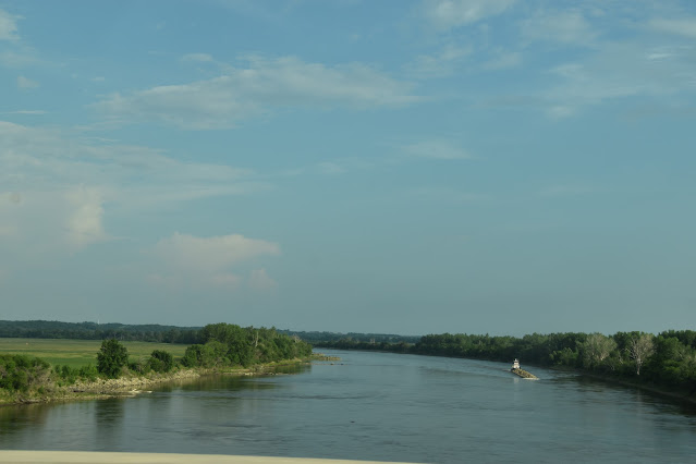
After leaving 4 corners at White Cloud, KS, we continued on into Nebraska, following the Missouri River along highway 7.
We pulled into Rulo, Nebraska, population 144.
We came to a village called Big Lake. There are homes and cabins around this lake.
We took North 111 to highway 29 and took it for 30 miles.
Using Maps on my phone, we found the "dotted road" called Bluff Road that followed the bluffs to the east. This runs along the Lewis and Clark Historic Trail.
The Loess Hills rise 200 feet above the flat plains forming a narrow band running north to south 200 miles along the Missouri River. The plains are between 3 and 8 miles wide. If you look at a map, you will see it from Kansas City, through Omaha and on north into South Dakota!
We missed this scenic overlook. I noticed the sign when I reviewed my photos. I was just taking a picture of it to remind me what roads we were on. We may have to try this road again! I looked at pictures on-line and it would be worth it!
At a fork in the road, the signage was not clear on how to stay on Bluff Road and we went out of the way just a little. Luckily it wasn't too muddy since it was a minimum maintenance road! I guess if it had been muddy, we would have made a U in the road.
We came to a town called Tabor, Iowa. There is an underground railroad station here; the Todd House Museum. It would have been closed when we drove through. That would be interesting to visit! We visited one in Wisconsin. The Milton House.
When we got to highway 34, we went east to highway 59 and north to highway 80.
The sun set as we got to Highway 80. We pulled into Des Moines around 11PM. Passed our bedtime but what a fun adventure going on unknown, "dotted" roads! Tomorrow to Dubuque to see something we have never seen before!


.webp)


No comments:
Post a Comment